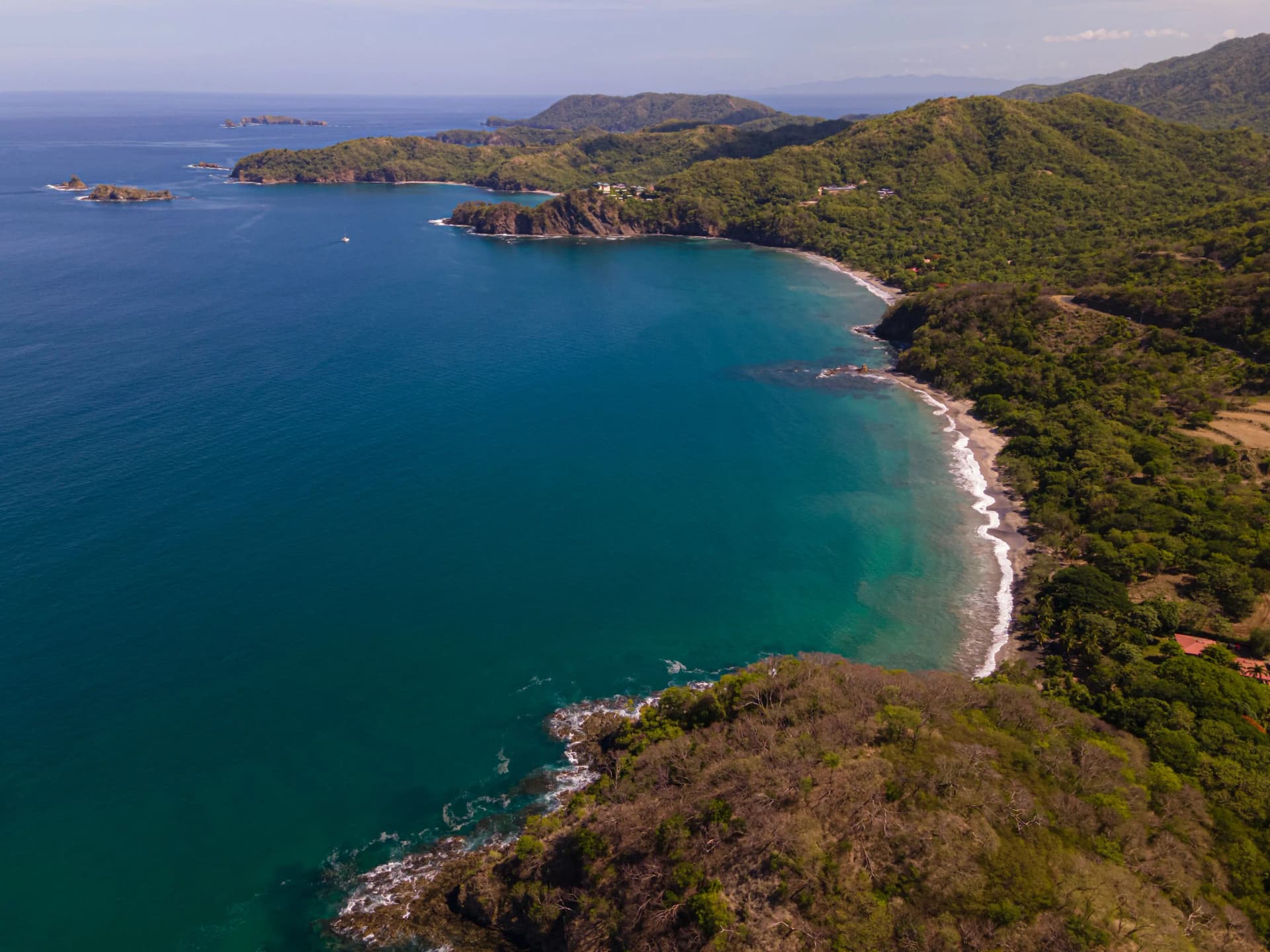
Every trip in Guanacaste starts with the same question: how far is it, really? Here are the actual driving times from Liberia International Airport (LIR) to every major destination — not Google Maps optimism, but what our drivers see day in, day out, including which roads are paved and where the last stretch gets rough.
The master table
| Destination | Time from LIR | Distance | Road condition |
|---|---|---|---|
| Playas del Coco | ~25 min | 22 km | Paved |
| Playa Hermosa (Guanacaste) | ~30 min | 26 km | Paved |
| Papagayo Peninsula | ~30 min | 30 km | Paved |
| Playa Ocotal | ~30 min | 25 km | Paved |
| Tamarindo | ~50 min | 65 km | Paved |
| Playa Grande | ~1 hr | 70 km | Paved, short gravel at end |
| Flamingo / Brasilito / Conchal | ~1 hr | 65 km | Paved |
| Las Catalinas / Potrero | ~1 hr | 70 km | Paved |
| Playa Avellanas | ~1 hr 10 min | 75 km | Last 6 km unpaved |
| Playa Negra / Junquillal | ~1 hr 20 min | 80 km | Partially unpaved |
| Rincón de la Vieja NP | ~1.5 hrs | 60 km | Last stretch gravel |
| Nosara / Playa Guiones | ~2 hrs | 120 km | Last 25–30 km unpaved |
| Sámara / Playa Carrillo | ~2 hrs | 110 km | Paved |
| Río Celeste | ~2.5 hrs | 115 km | Mostly paved |
| Monteverde | ~3 hrs | 145 km | Final mountain climb unpaved |
| La Fortuna / Arenal | ~3.5 hrs | 200 km | Paved |
| San José | ~4 hrs | 215 km | Paved (Route 1) |
| Manuel Antonio | ~5 hrs | 300 km | Paved |
Times assume normal daytime traffic. Add 15–25% for rainy-season afternoons, weekend beach traffic through Belén, or any route with dirt road.
The three zones of Guanacaste
The 30-minute circle: Coco, Hermosa, Ocotal, Papagayo. Closest to the airport and home to the big resorts (Four Seasons, Andaz, Secrets). If you land in the afternoon, you can be in the pool before sunset. Perfect for first and last nights.
The one-hour coast: Tamarindo, Flamingo, Conchal, Las Catalinas, Potrero, Grande. The heart of Gold Coast beach life — surf towns, white-sand beaches, the best restaurant scenes. All reachable on good paved roads in about an hour.
The two-hour-plus adventures: Nosara, Sámara, and the volcanoes. Worth every minute — but plan them as half-day travel days. Nosara's final 25–30 km of washboard dirt road is the most famous "shortcut that isn't" in Costa Rica: locals know which stretches to take slow, which is exactly when having a driver beats white-knuckling a rental.
Renting a car vs. being driven: what the roads decide
For the paved one-hour coast, any car works. For Nosara, Monteverde, Avellanas or rainy-season travel, an SUV is strongly recommended if you self-drive — rental agencies may void coverage for river crossings, and washboard roads are where most rental damage happens.
A private shuttle removes the question entirely: fixed price, a driver who knows every pothole personally, WiFi to plan your week on the way, and a cooler of cold water. For LIR pickups, your flight is tracked in real time, so a delay never costs you your ride.
One local tip
If your itinerary includes two bases (say, Papagayo first, then Nosara), don't backtrack to the airport to switch transport — a direct inter-beach transfer saves an hour or more. Guanacaste's beach towns connect directly, and the route search prices any combination instantly.
Frequently asked questions
Which Guanacaste beach town is closest to Liberia Airport?
Playas del Coco is the closest major beach town at roughly 25 minutes from LIR, followed by Playa Hermosa and the Papagayo Peninsula at about 30 minutes. That is why the Coco–Hermosa–Papagayo corridor is popular for the first or last night of a trip.
Is the road to Nosara paved?
Not all of it. The main highway is paved until after Nicoya, but the final stretch into Nosara is unpaved washboard road. It is passable year-round in a van or SUV, but it is dusty in dry season and muddy in rainy season — one reason many travelers prefer to be driven.
How long is the drive from Liberia Airport to La Fortuna or Monteverde?
Around 3.5 hours to La Fortuna/Arenal and about 3 hours to Monteverde. The Monteverde route ends in a famously winding unpaved mountain climb. Both are very doable as private transfers with a stop for food or photos on the way.
Does Google Maps give accurate times in Guanacaste?
Mostly on paved main roads, but it tends to be optimistic on unpaved stretches (Nosara, Monteverde) and does not account for slow traffic through towns like Belén on weekends. Add a 15-25% buffer to any estimate that includes dirt road.
Can I stop at a supermarket on the way to my hotel?
Yes — with a private shuttle a quick grocery or pharmacy stop on the way is standard practice, especially for guests heading to villas in Flamingo, Potrero or Nosara. Just mention it to your driver.
Book your private shuttle
Door to door anywhere in Costa Rica at a fixed price, with flight tracking and free child seats.